

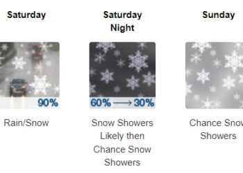
NorCal is on track to see a significant atmospheric river dropping widespread rainfall amounts of 1-4 inches early next week. This will likely bring fire season-ending rainfall from Eureka northward and likely put an end to the wildfires, sending smoke south into the Bay Area and Sacramento. A bomb cyclone will help drive this Category 4 atmospheric river into the region but will remain well offshore, producing wind gusts up to 80 mph and waves up to 50 feet. This Category 4 atmospheric river, despite its high moisture content, will deliver only modest rainfall amounts due to its fast speed. This is likely a good thing, given the many fresh burn scars in the region.

Fatal Crash Claims One Life in Pollock Pines
Tragedy Strikes as Vehicle Accident Turns Fatal in California's Pollock Pines


