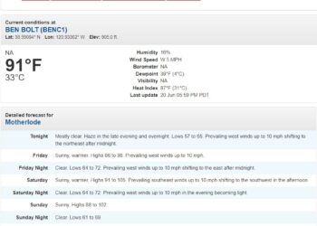
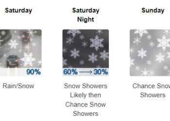
PLACERVILLE, California (NOAA) Jan 4, 2023 — Heavy snow expected at times. Accumulations of 3 to 6 feet, locally up to 8 feet, tonight through Tuesday above 6000 feet. South to Southwest winds gusting as high as 80 mph at times.
A barrage of atmospheric rivers continues to impact the West Coast with the next system set to sweep into California tonight.
Heavy rain is expected to add up to several inches across much of central California through Tuesday. The cumulative effect of successive heavy rainfall events will lead to additional instances of flooding. This includes rapid water rises, mudslides, and the potential for major river flooding.
A Moderate Risk (level 3/4) of Excessive Rainfall has been issued for most of central California on Monday, extending southward towards the Transverse Ranges of southern California as well. As moisture continues to sink southward on Monday night and another push of rainfall enters on Tuesday, flash flooding is increasing likely over the southern California coastal ranges through early this week.
Susceptible terrain and areas near recent burn scars will be most at risk for debris flows and rapid runoff. For the higher terrain of the Sierra Nevada, extremely heavy snow and intense snowfall rates are anticipated to make travel very dangerous to impossible at times, including the potential for road closures.
Total snowfall amounts greater than 6 feet are possible above 7000 feet. This amount of additional accumulating snow on top of an already well built snowpack is likely to increase the threat of avalanches and strain infrastructure. Gusty winds are also expected to spread onshore with the approaching system and could lead to the threat of downed trees and power outages.
The combination of saturated soil and gusty winds could exacerbate the tree damage threat. Residents and visitors across this region are advised to check their local forecast, never drive across flooded roadways (Turn Around Don’t Drown!), and have both an emergency kit and evacuation plan in place. If you must travel, keep an extra flashlight, food, and water in your vehicle in case of an emergency.
The latest road conditions for the state you are calling from can
be obtained by calling 5 1 1.
Elsewhere, Pacific moisture that is able to push into the Intermountain West and central Rockies may lead to locally heavy snow on Monday and Tuesday throughout the higher elevations.
Graphics available at
https://www.wpc.ncep.noaa.gov/basicwx/basicwx_ndfd.php
Img – 38.67°N 120.56°W (Elev. 3589 ft) forecast.


